Two views of a sky feature: understand the purpose of triangulation
A photograph can show where a luminous feature appears in a frame without independently establishing its height above Earth. Read a scientific use of two viewpoints to understand why geometry and coordinated records matter. This is a desk-based interpretation exercise, not an instruction to set up a field measurement or calculate an altitude from unrelated holiday pictures.
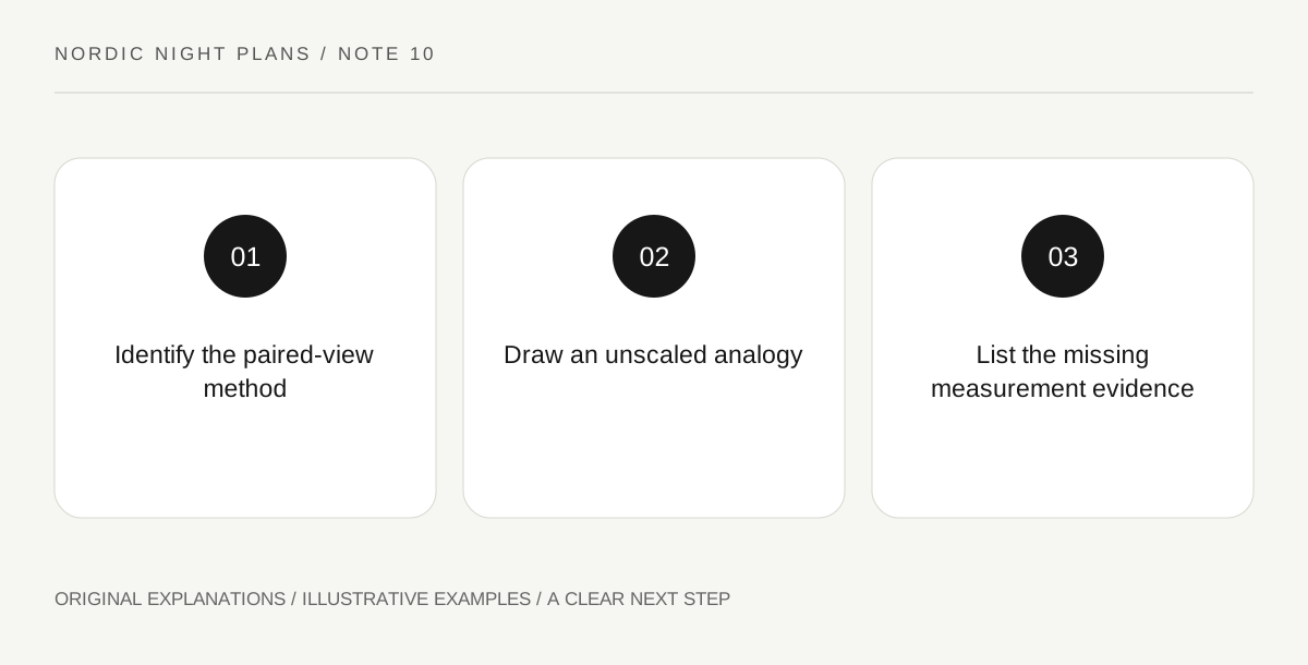
Original explanatory diagram. Read the full method and limitations below.
Begin with the documented research example
ESA’s account of STEVE and its associated structures describes researchers using photographs from different locations and angles to investigate altitude ranges. The narrow lesson is methodological: a second viewpoint can add information that one image lacks. Keep the named scientific example and its context attached to the explanation. Do not turn it into a claim that any two pictures of a similar-looking light automatically form a usable measurement pair. The actual research involved identifying relevant observations and interpreting them appropriately.
Draw a simple object-and-viewpoint analogy
On paper, mark two observer positions and one imagined object. Draw a line from each observer toward the object, then label the sketch conceptual and not to scale. The drawing illustrates why different lines of sight can contain information about position. It supplies no real altitude, calibrated angle or auroral identification. That limit is important because the ease of drawing intersecting lines can make the underlying measurement problem appear simpler than it is. Keep the analogy’s educational purpose explicit.
List what a real comparison would need to establish
Write questions about the observation times, locations, orientation and identity of the feature being compared. These are evidence questions, not a complete technical procedure. A public summary may not provide every answer, and you should not invent them to finish the worksheet. The exercise reveals why a striking image alone does not carry all the information a research calculation requires. It also shows why metadata and original context matter when images are shared, cropped or detached from their captions.
Leave the numerical claim with the research
End by describing what the paired viewpoints contributed in the cited account, without reproducing a calculation you have not performed or checked. If a personal image sparks curiosity, preserve its original context and seek an appropriate research resource rather than publishing an improvised height estimate. The method is a useful addition to an aurora journey because it changes the question from how high does it look to what evidence could establish height. That is a concrete scientific insight even when the notebook contains no numerical answer.
Illustrative learning notebook
Illustrative drawing: a traveler marks two fictional observers and a single object, using conceptual sight lines to explain why viewpoint matters. A separate list asks what time, orientation and feature identity information would be needed for a real study. The drawing remains unscaled. The traveler does not combine two unrelated photographs or label the illustration as an actual altitude measurement.
Questions that come up
Can one ordinary photograph establish a feature’s height by appearance alone?
This exercise provides no such method. Apparent position in an image and physical altitude are different quantities.
Is the conceptual drawing enough to reproduce the research?
No. It illustrates a geometric idea while omitting calibration, data selection and analysis. Those belong to the actual scientific method and supporting evidence.
References and scope
These sources support the factual background. Examples and exercises are original illustrative teaching material. References do not imply endorsement.
- ESA: Steve over the picket fence — The use of photographs from different locations and angles to investigate altitude ranges; no field protocol or unverified altitude estimate.