The Struve Arc: read a small survey marker as part of a large collaboration
A modest survey marker can be less visually dramatic than the scenery surrounding it, yet its significance may lie in a network extending far beyond the view. Use the Struve Geodetic Arc to explore that scale change. A northern journey gains a history of measurement when one documented point is connected to a collaborative scientific purpose rather than judged only as a monument.
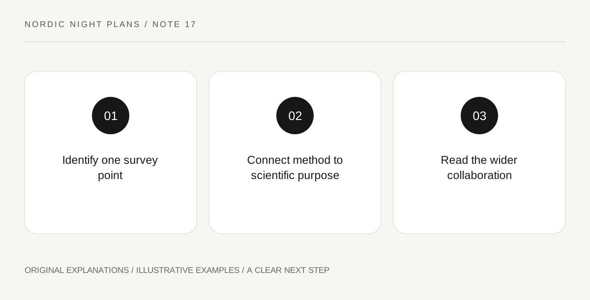
Original explanatory diagram. Read the full method and limitations below.
Start with the network’s purpose
UNESCO describes the Struve Geodetic Arc as a chain of survey triangulations extending from Hammerfest toward the Black Sea, undertaken to improve knowledge of Earth’s size and shape. The inscribed property preserves selected points rather than every original station. These facts explain why a small mark can matter. Choose a documented component through official property information. A point’s presence on a heritage map does not establish current visitor access or make the whole arc a practical walking route.
Separate marker, measurement and result
Make three boxes. In the first, describe the identified physical marker using the interpretation. In the second, state the kind of survey relationship the source explains. In the third, record the larger scientific question. Do not invent an original instrument setup from the marker’s present appearance. The distinction helps a visitor see that a surviving object, a measurement method and a scientific result are connected but not identical. The object alone does not contain a readable answer to Earth’s dimensions without the wider work.
Show collaboration without drawing a false continuous line
On an outline map, mark the documented scale of the arc and one selected point, labeling the sketch schematic. A line on paper is an aid to understanding the network, not a claim that a single built structure connects the sites. Ask what information had to be shared among surveyors for separate observations to contribute to a common purpose. Use the official explanation for historical details. Avoid turning collaboration into a story of one isolated genius or adding biographies absent from the evidence.
Choose the right form of encounter
A direct visit may be worthwhile if current arrangements make the particular component appropriate, but an official map and interpretation can also answer this educational question. State which evidence you used. End with a sentence linking the modest physical trace to the large collaborative inquiry. That relationship is the memorable feature. It also provides a useful contrast with auroral science: different questions about Earth can depend on networks of observations, while the methods, periods and physical quantities involved remain distinct.
Illustrative learning notebook
Illustrative page: a traveler studies an officially identified point using an authorized image and the property map. Three boxes distinguish the marker, the survey method and the scientific purpose. A schematic line conveys the arc’s extent without implying a continuous monument or available trail. The final note credits the network of work rather than presenting the marker as a self-explanatory measurement of the planet.
Questions that come up
Is the arc one continuous built monument?
No. The property preserves selected survey points within a larger historical network. The connecting line on a map is an explanatory representation.
Must I visit a remote point to understand the idea?
No. Appropriate official interpretation can serve the limited educational question. Any actual visit needs component-specific access and practical information.
References and scope
These sources support the factual background. Examples and exercises are original illustrative teaching material. References do not imply endorsement.
- UNESCO: Struve Geodetic Arc — The survey chain, Hammerfest–Black Sea scale, selected inscribed points and Earth-measurement purpose; no access route or surveying protocol.